Before arriving here, we arranged a few meetings in NYC with some professionals whose work was interesting and close to our own field. We got to visit two local planners: WSP-Parsons Brinckerhoff NY office and New York City Planning Departments office.
NYC Planning Department visit
A couple of weeks ago, we visited New York City Planning Department. Obviously, city planning is in a whole different scale in NYC than in Helsinki, but we found a lot of things in common as well.
We talked about New York City’s hottest development areas. Like in Helsinki, waterfront is attractive, and the focus has slowly moved outside of Manhattan. In NYC waterfront zoning, there is usually a required amount of public spaces along the water. Public access to the waterfront is usually a must. We discussed a lot about Brooklyn, which has undergone a lot of changes during its renaissance. Gowanus canal and Red Hook in Brooklyn are some of the most interesting ones. There are plans to clean up the polluted Gowanus canal, nicknamed “the Buttermilk Channel”, so that it can be turned into a canal-fronting park and develop the real estate in the area.
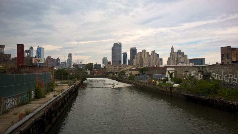 Gowanus canal now
NYC waterfront areas have a distinct problem though – there is a risk for flooding all over lower Manhattan because of major storms. Helsinki is not as vulnerable, because it is not by the ocean and in tropical storms’ reach, but we are preparing for the climate change still. Right now in NYC there is a flood protection program on the way.
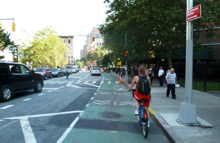
We also talked about the streetscape changes that DOT, the Department of Transport in New York has promoted and we have mentioned in previous blog posts. Among those changes is an interesting concept called “squeet” (square+street) . In NYC there are loads of intersections where a diagonal street meets the orthogonal city grid resulting in leftover spaces in the crossroads. By reconfiguring the intersection the leftover street space can be turned into a “squeet”. The first squeet in 2007 was a former parking lot transformed into plaza: the Pearl Street Triangle in Dumbo. As explained in her book The Street Fight, Janette Sadik-Kahn stated the iniative to the transformation of the square came from the local entrepreneurs. Like the other squeets, it is a private-owned public space (POPS). There are dozens of similar privately owned public spaces in New York City, both street plazas and more park-like public spaces. The city puts a minimal public investment into changing the space and local community takes care of the maintenance.
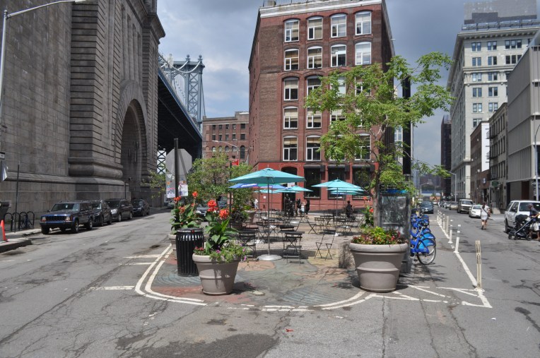 Pearl Street Triangle in Dumbo
It seems that especially finance related issues in city planning and finding the role between a planner and a real estate finance negotiator are common problems both in Finnish planners’ life and here in NYC. In both countries the base degree for an urban planner or designer is usually an architect, which does not cover all the needed knowledge to master the profession.
The New York City Planning Department has basic planning guidelines which we could very much relate to: keeping in mind the sense of place, making plans open and accessible and designing with care. But the one that we would like to practice back home is “plans, that make us feel good” – isn’t that what it is all about?
Bye New York – blog continues
This is our last day in New York City. It has been hectic and amazing. So hectic, that many blog posts are yet to be finished – so we are publishing the last ones this and coming weeks. We will miss you!
– Laura & Tomi

 Brooklyn Bridge Park joggers
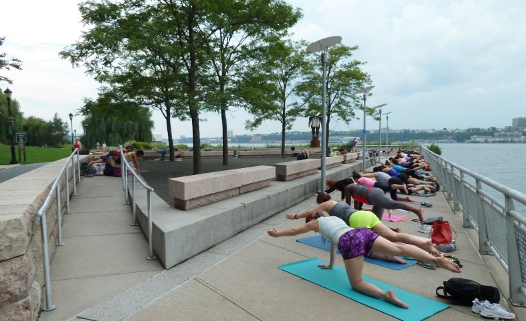 Hudson River Park pilates
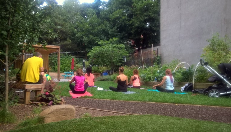 Jane Bailey Memorial Garden yoga
 Celebrate Brooklyn!
 A Play Street in Jackson Heights, Queens.
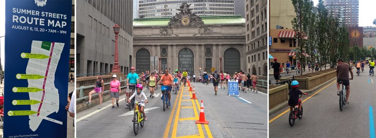 The Summer Streets route map and a few views of the event
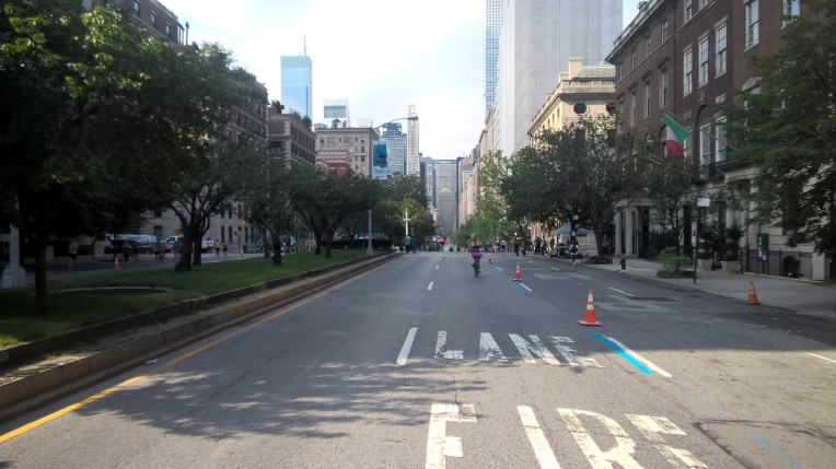 At the early hours Park Avenue looked deserted at times…
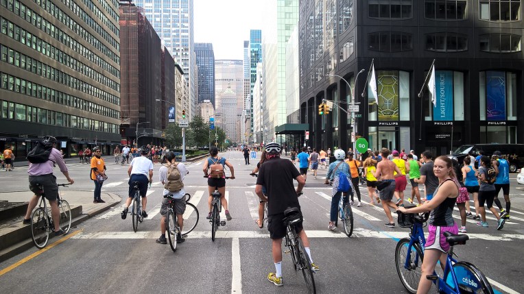
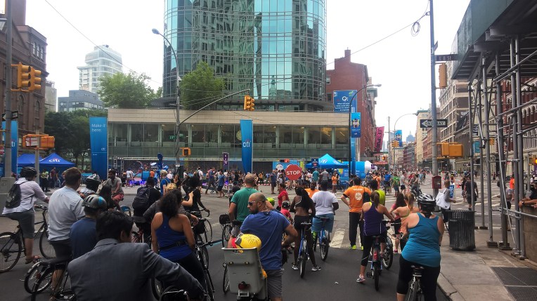 Towards the end of the event there was already a pedestrian and bicycle rush hour
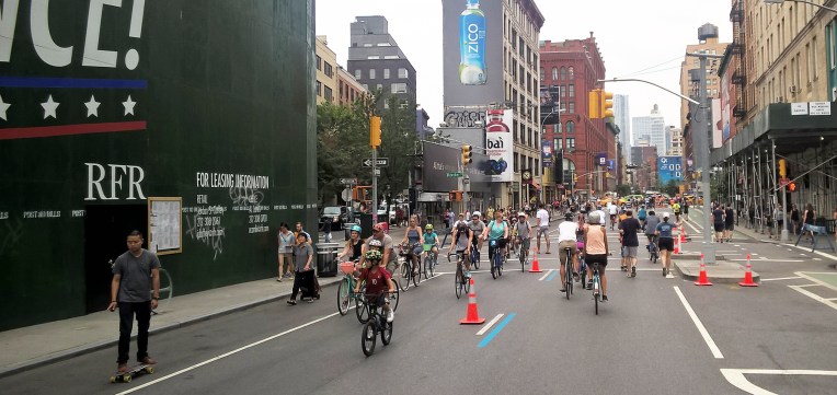 Summer Streets attracted cyclist from different age groups
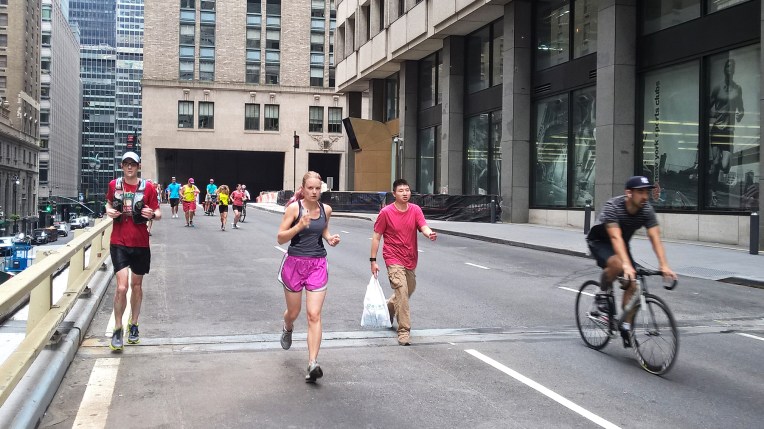 Speeding through Park Avenue on foot
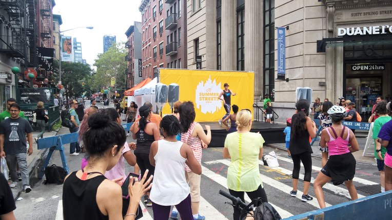 At the last one of our stops it was a full-on street festival with during the public dance classes
 Farmer’s market: wow, such nice groceries!

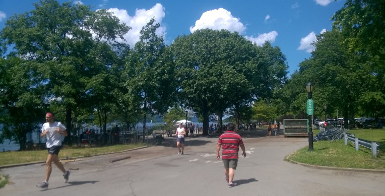
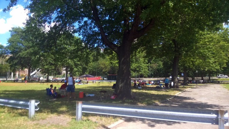
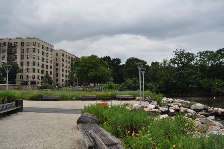
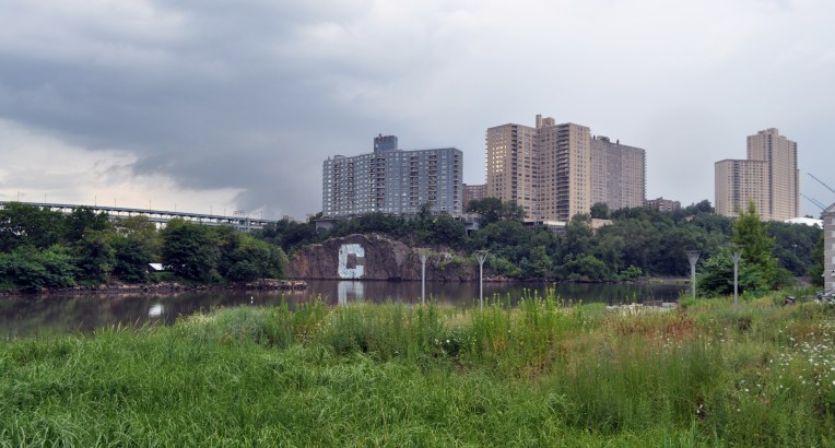


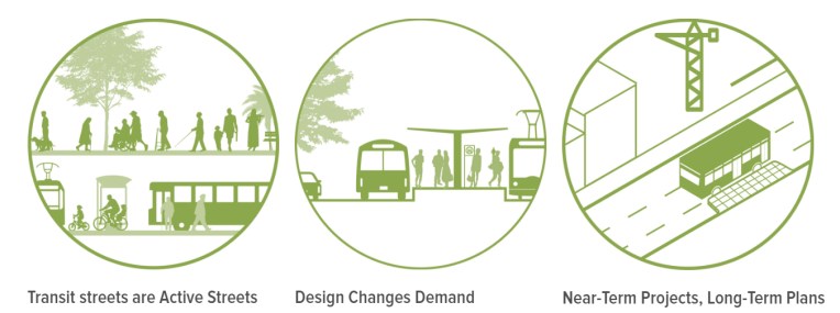 image 1: Example of the appealing visuals of
 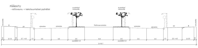 image 2: A typical Finnish depiction of a street type.
 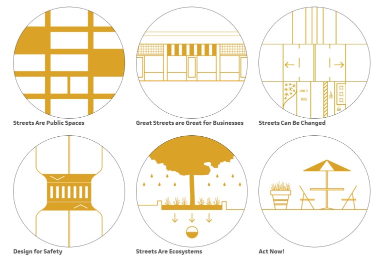 image 3: Street design principles from
 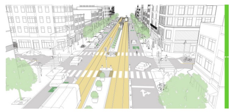 image 4: Downtown transit street from
  image 5: Prioritization pyramid from
  Two happy urban designers after a great visit to NACTO.
 Wildness in the city.
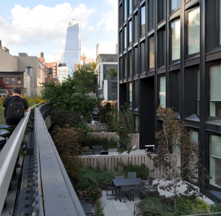 Private terraces by the High Line.
 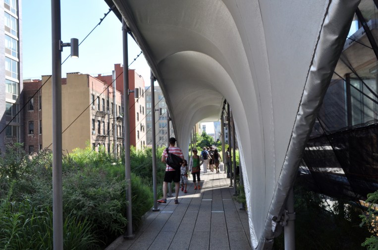 Zaha’s construction shed.
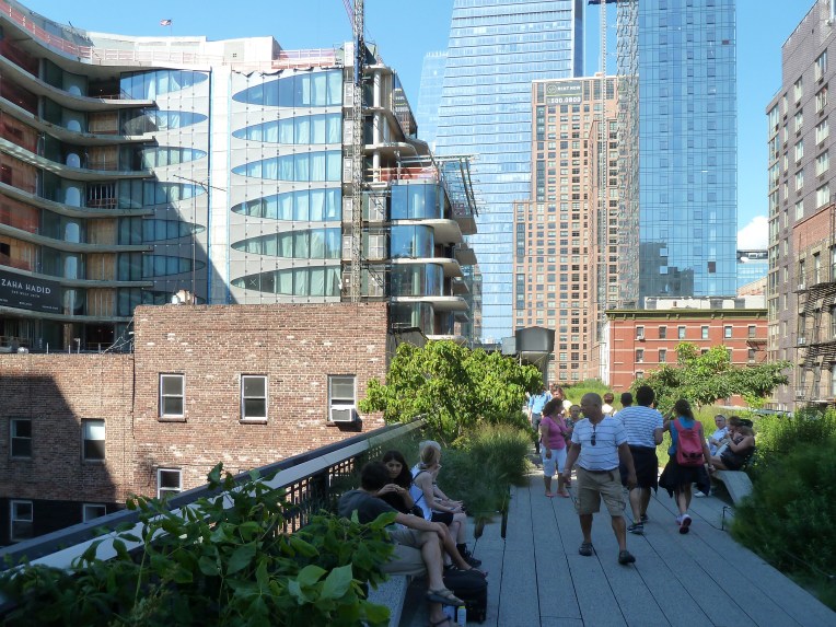 The High Line, second section.
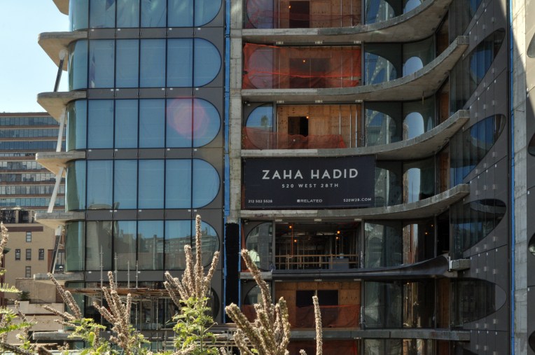 520 West 28th is advertised to the strollers on the High Line.
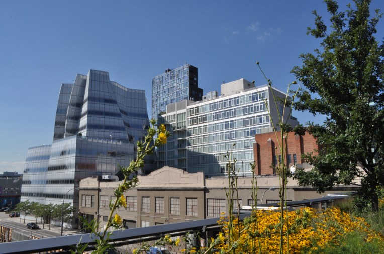 IAC headquarters and the Vision Machine seen from the High Line.
 The terraced building of Whitney Museum of American Art.
 Whitney’s main entrance creates a pleasant plaza in the front.

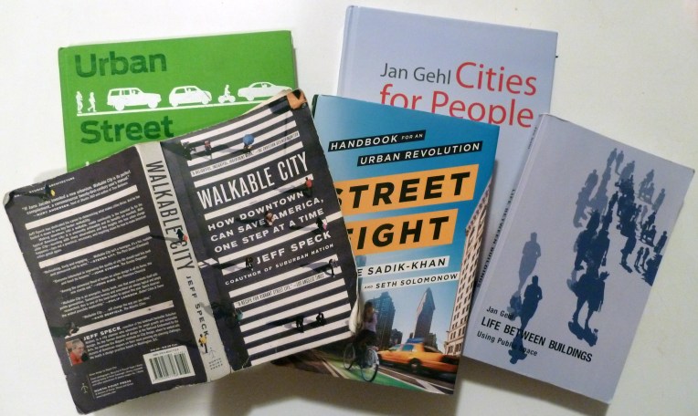 Our main reads for this trip – all of which are highly recommendable!
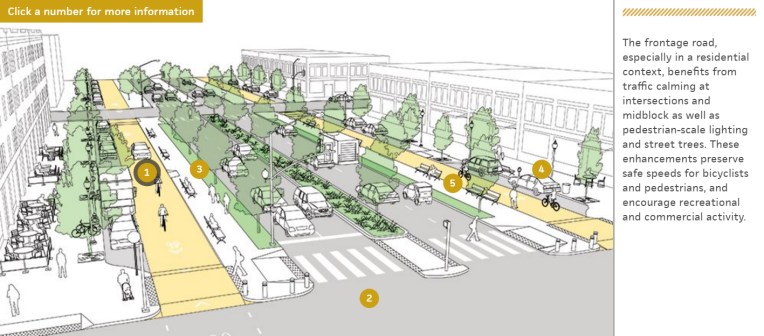
 Helsinki City Planner learning from New York in action