They claim that during August, every New Yorker escapes the heat to Long Island, but the city has been anything but dead. We have bumped into some awesome summer events all over New York.
New York is a big city in population as well as in distances, but the city structure of conjoined villages makes it easy to approach. Different neighbourhoods have their own characters and local events, which are often not too big at all.
NYC park events
As I mentioned earlier, we went to see a free movie to Brooklyn Bridge Park one night. I was delighted that the movie night was well put together, yet it was not too crowded at all. I noticed that there is an impressive list of events in the park during the summer season: from kayaking and basketball to horticultural volunteering. Part of the events run understandably spring through fall only, but all in all the event calendar covers the whole year. I find this kind of an approach a real asset for the neighbourhood, increasing livability and expanding scarce living area to outdoors. As the public spaces are used more, it improves social control and thus the feeling of safety, and maybe even increases the value of the nearby apartments.
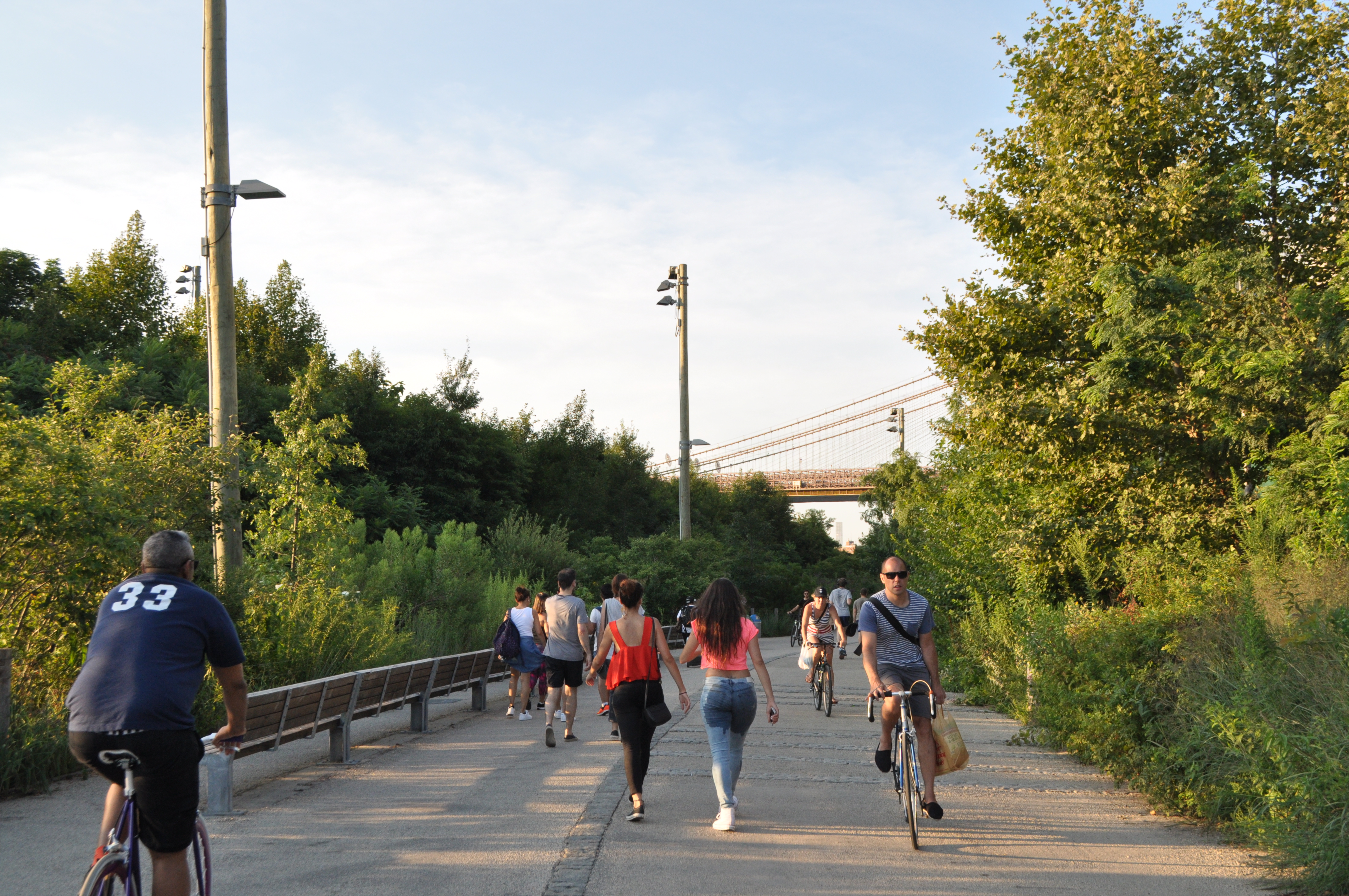 Brooklyn Bridge Park joggers
Besides movies, there are a lot of free or low-cost events in parks all over the city. The events are gathered under one website, where you can also filter the events according to the area or activity type.
I have tried different yoga and pilates classes in Fort Tryon Park, Hudson River Park and Jane Bailey Memorial Garden. They have all been very professional and a good way to get to know NYC parks. There are so many options all over the city that groups tend to stay small and you can just sneak in. I think these kind of easily accessible events could work for example in Helsinki, too. In best case scenario you develop a closer relationship to your neighbourhood community when you start going to your local yoga.
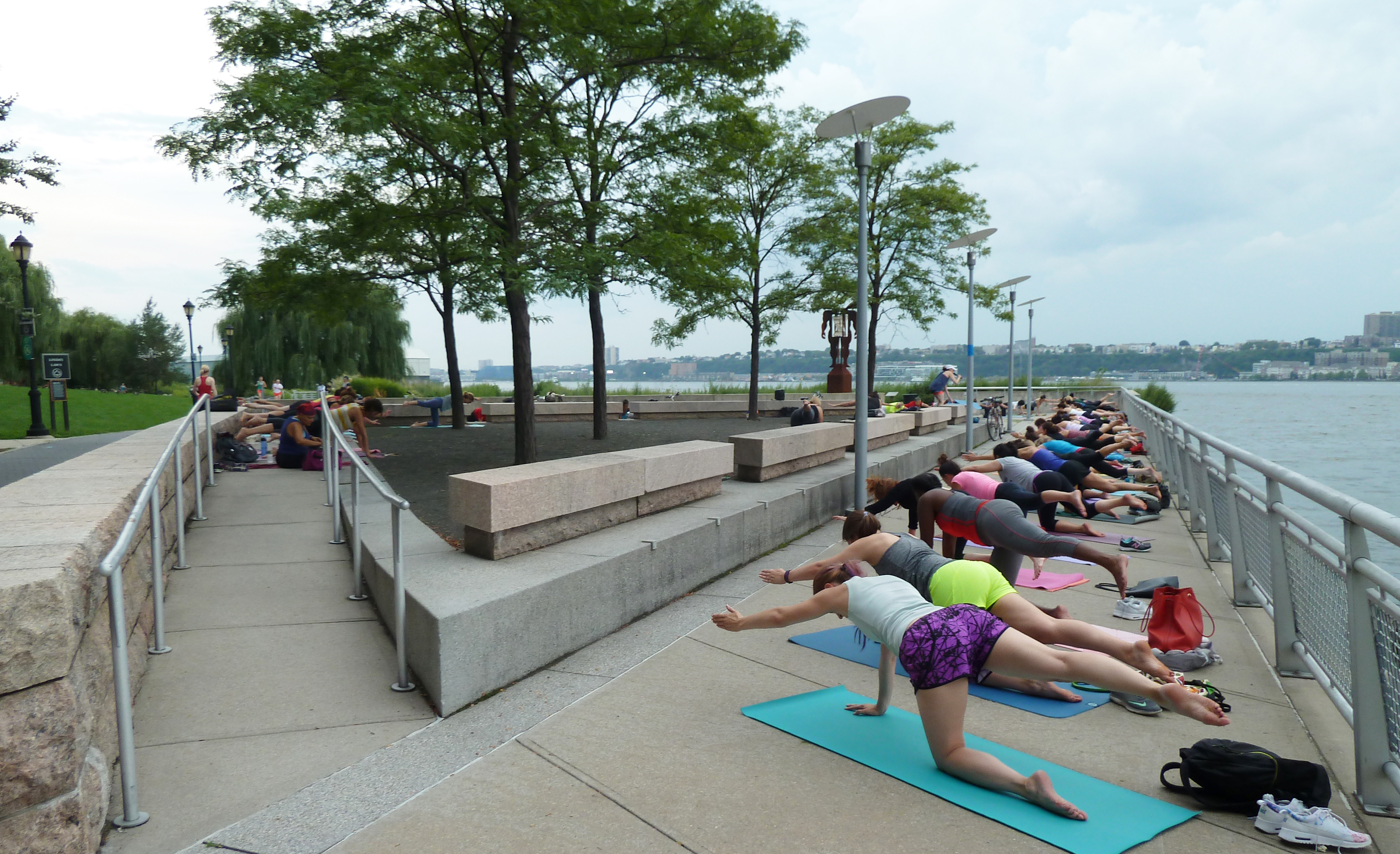 Hudson River Park pilates
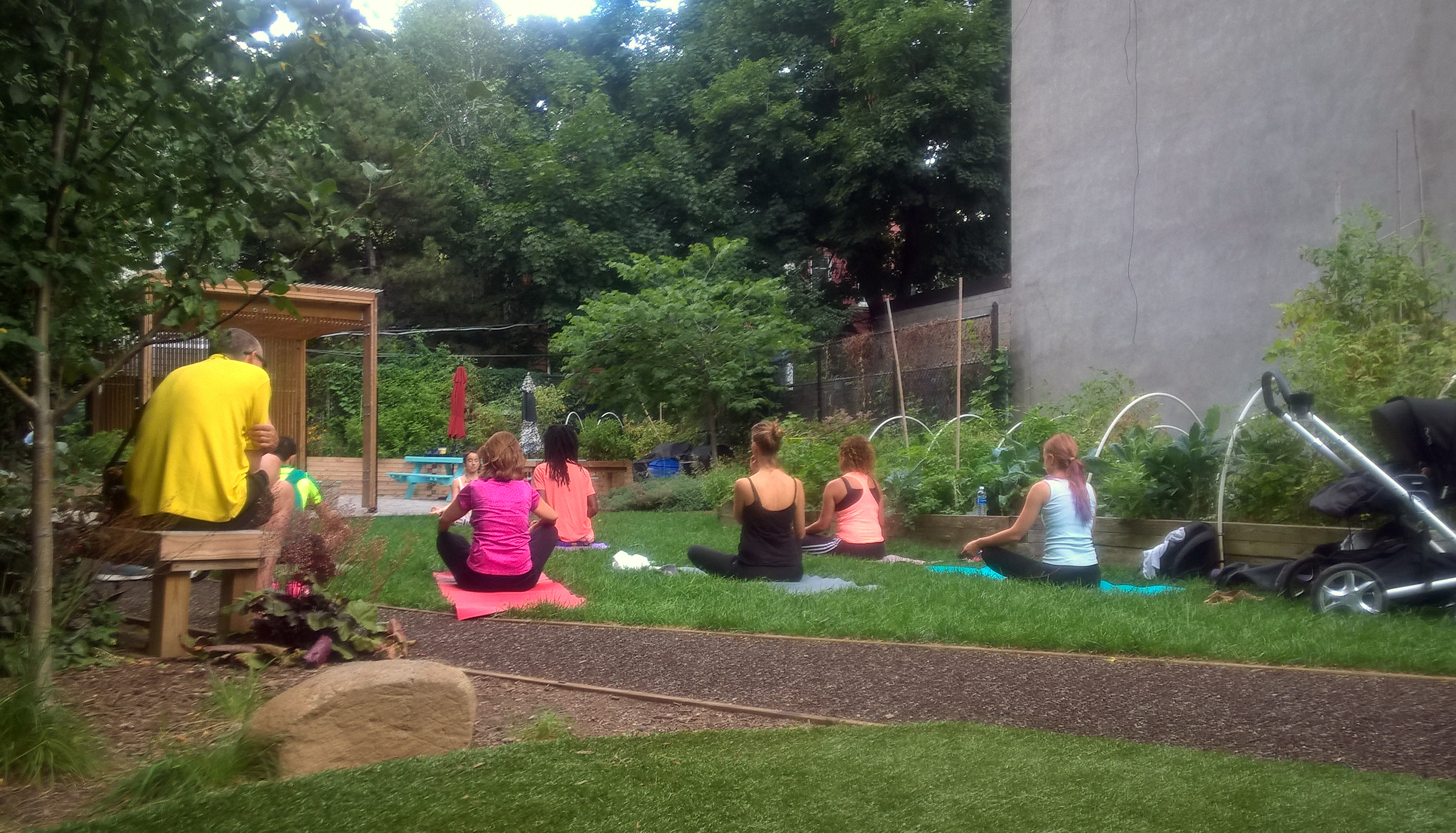 Jane Bailey Memorial Garden yoga
BRIC Celebrate Brooklyn! Festival
Celebrate Brooklyn! Festival is a one of New York City’s longest running, free, outdoor performing arts festivals and it takes place in Brooklyn’s Prospect Park. It was launched in 1979 and the organizer, Brooklyn Information & Culture or BRIC, claims that the event was an early anchor in the park’s revitalization and brought people back to the park after years of neglect. Naturally, they work in cooperation with the New York City Department of Parks & Recreation and the Prospect Park Alliance.
Two weeks ago, on a Friday night, we happened to pass by the Prospect Park festival venue and decided to stay for the concert. The performers were a psych-pop band Dr. Dog with an orchestra collective the Knights. The event was free, even though they hoped for a small donation of a few dollars at the door. Despite it being free, the venue was professionally executed, nicely decorated, not too crowded and there was plenty of lawn to lay down your picnic quilt. The food trucks deserve a special mention, because food was delicious, local and reasonably priced.
 Celebrate Brooklyn!
I was once again impressed how a free event can be of such high quality. Obviously, a free lunch is never free, and this event is largely funded by Friends of BRIC Celebrate Brooklyn!. There are different donor levels and benefits accordingly. I am sure that this event gathers a lot of donors since it has a distinct image and sense of locality combined with a tradition.
Street events
A long tradition is New York City is to to open up their streets to pedestrians for play on a recurrent basis under Play Streets Program. For schools and community groups with insufficient active play spaces, Play Streets open up streets in quieter blocks for physical activity. The change is meant to be permanent, but it can be easily dismantled if there was a need to do so.
I visited 78th street Play Street in Jackson Heights. The location is ideal, between a playground and a school. It is a renowned public space improval that started with the community initiative. The project began in 2007 when a group of neighborhood activists, the Jackson Heights Green Alliance (JH Green) wanted to improve and increase the amount of public space in their neighborhood. The street was quiet during the day, but even some benches and trees are obviously a welcome sign to spend time on the public space instead of walking by, or worse, driving by.
 A Play Street in Jackson Heights, Queens.
When talking about temporary street closures, Summer Streets should be mentioned. We took part in it the first Saturday of August. There will be more on that in Tomi’s recently released blog entry!
…and more
Pop-up events seem very trendy in New York at the moment. I actually noticed an event series called Pop Up New York, where they close a part of a central street every now and then to open it for people, food and live music. think I am going to check it out this weekend.
– Laura


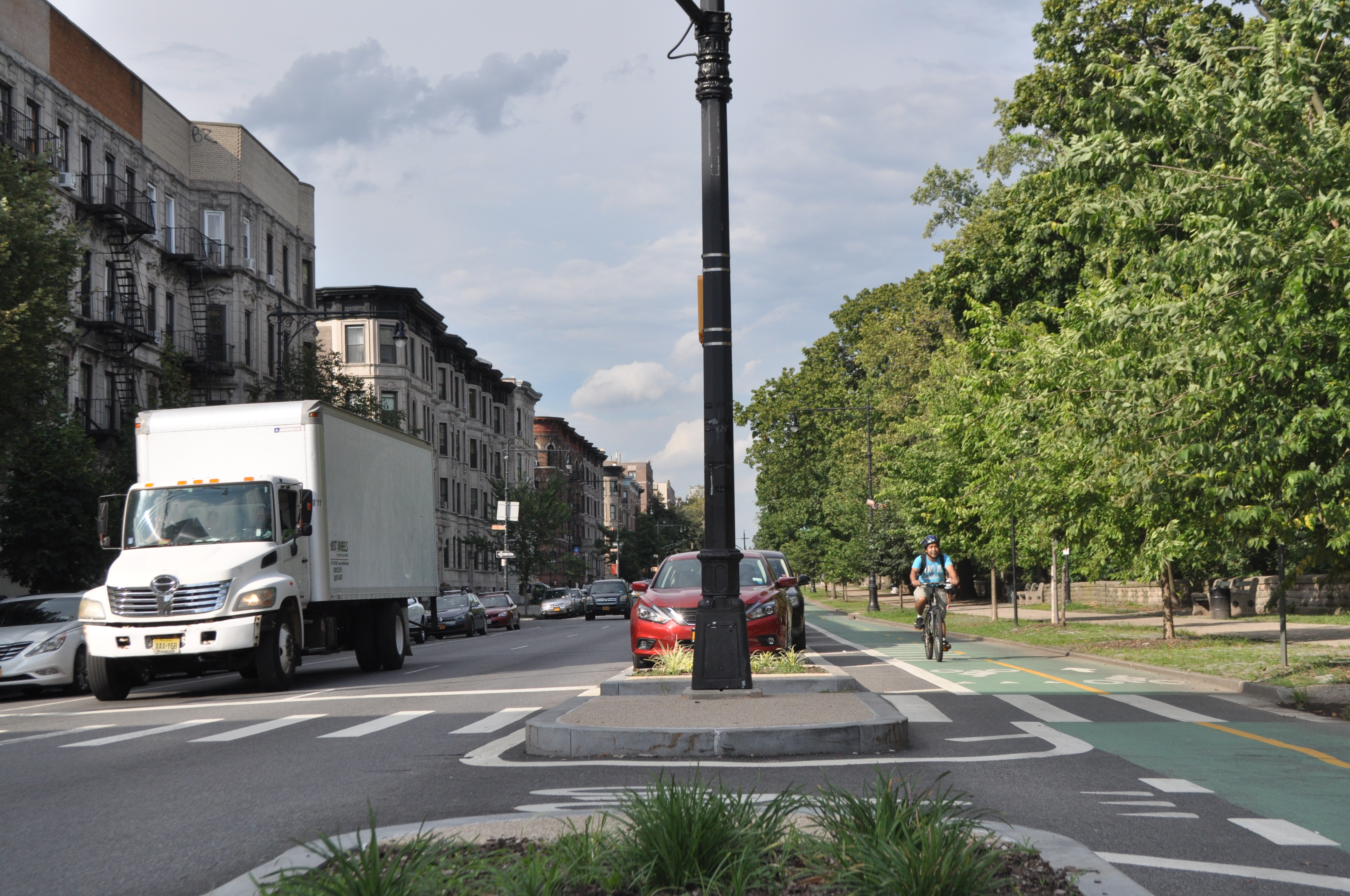
 NYC’s Department of Traffic has worked closely with NACTO in creating street design principles. Here is an example from NACTO’s
 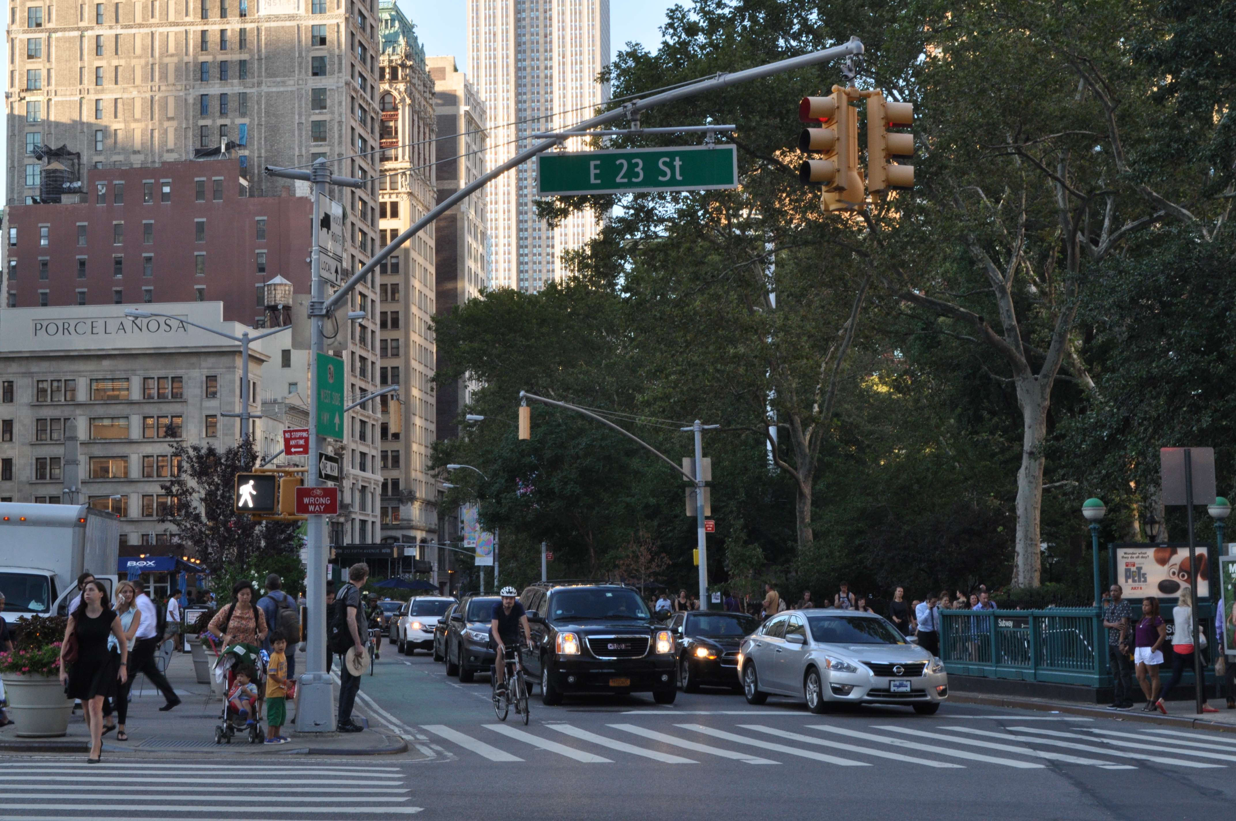 Cycling in Broadway.
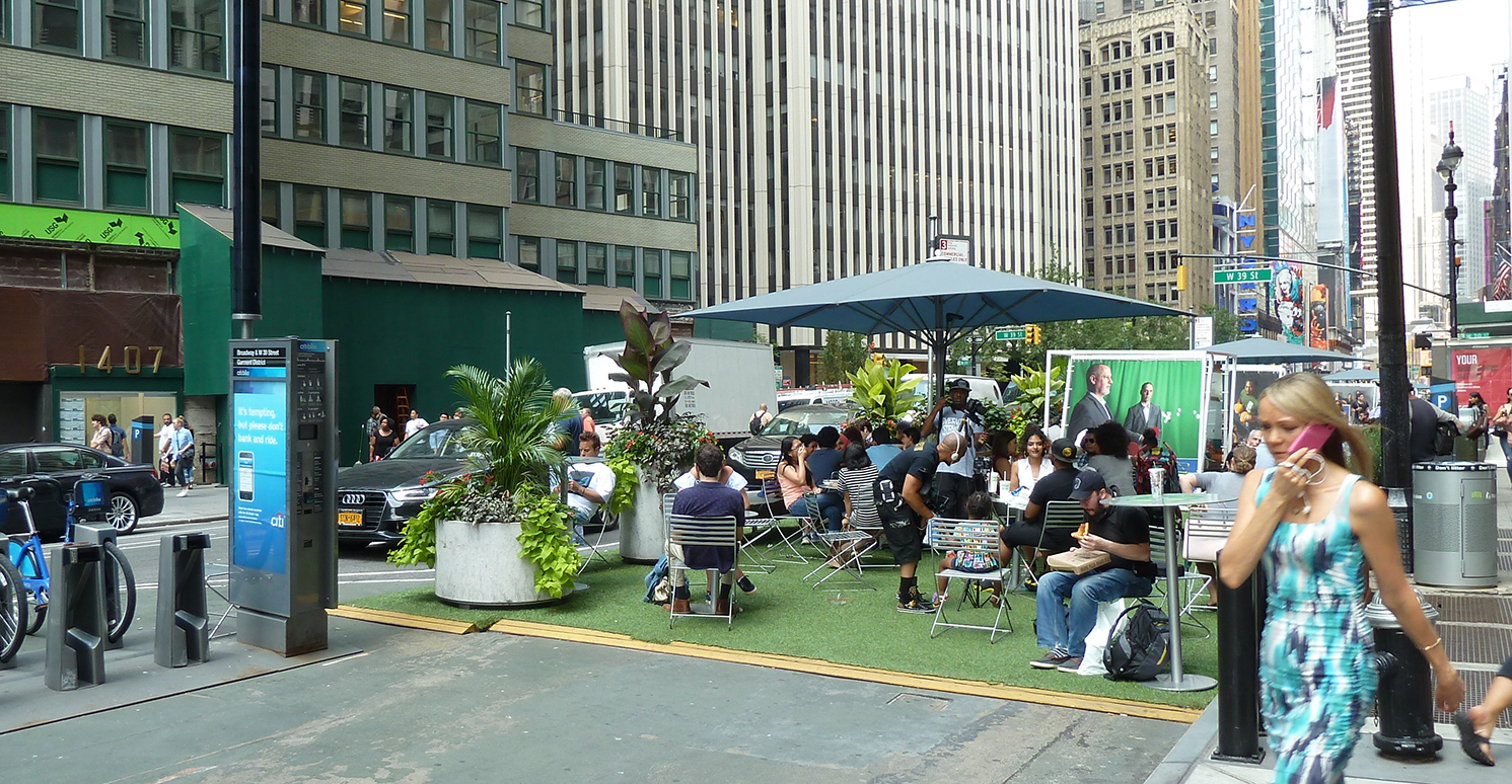 Plaza and a Citi Bike station along Broadway.
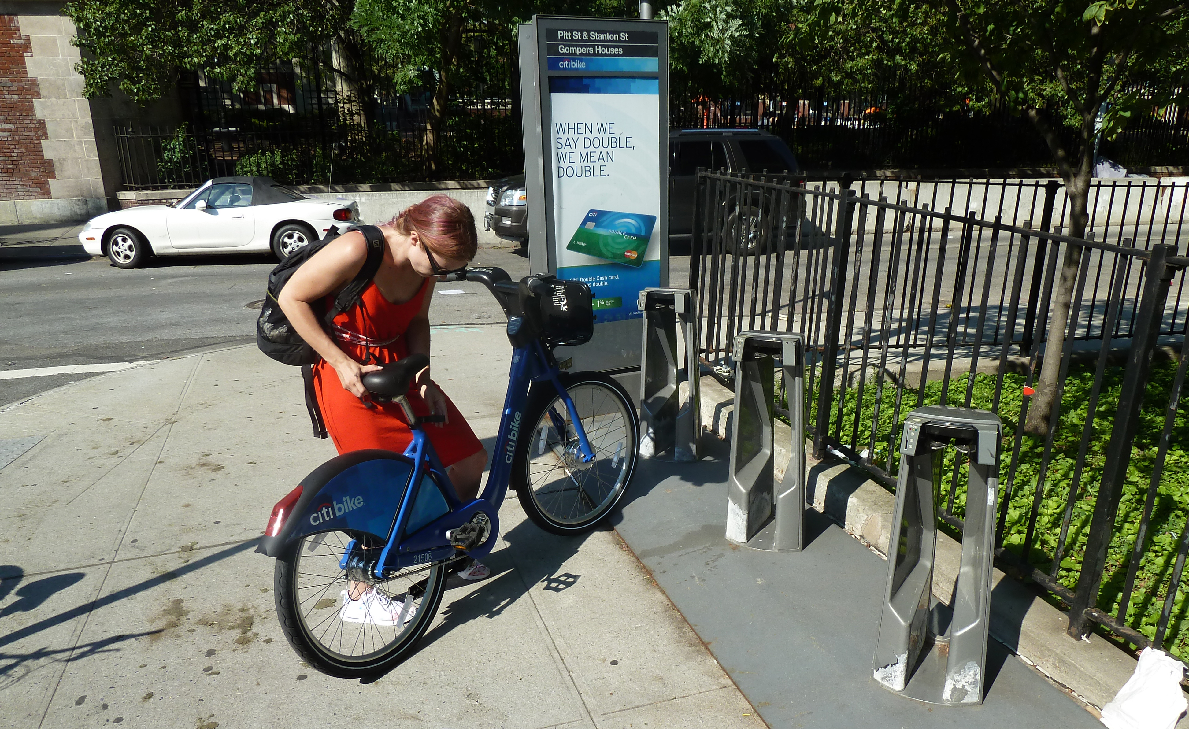
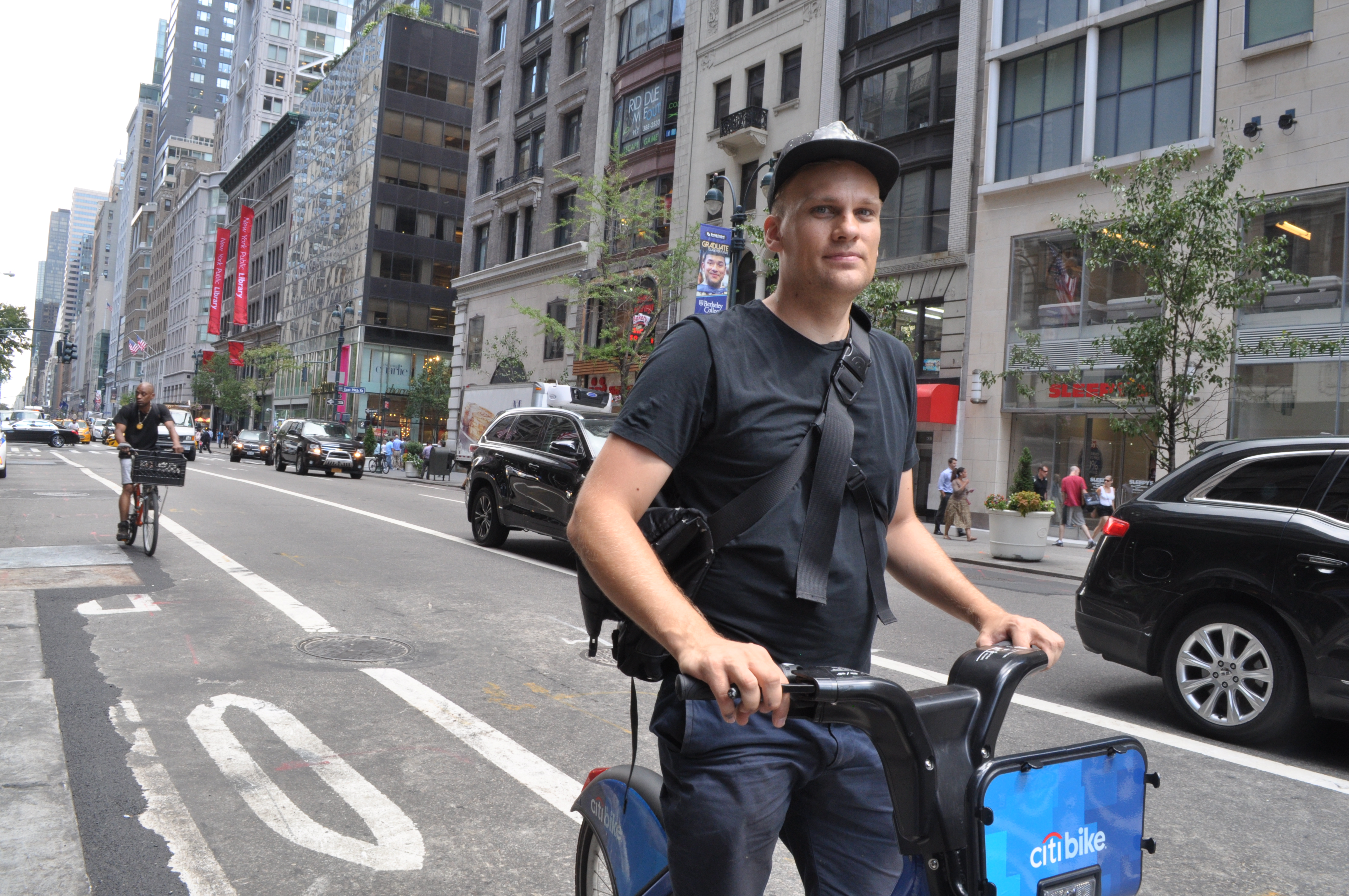 Cycling in Midtown Manhattan.
 We crossed the Newport Bridge, which is designed by Parsons Brinckerhoff.
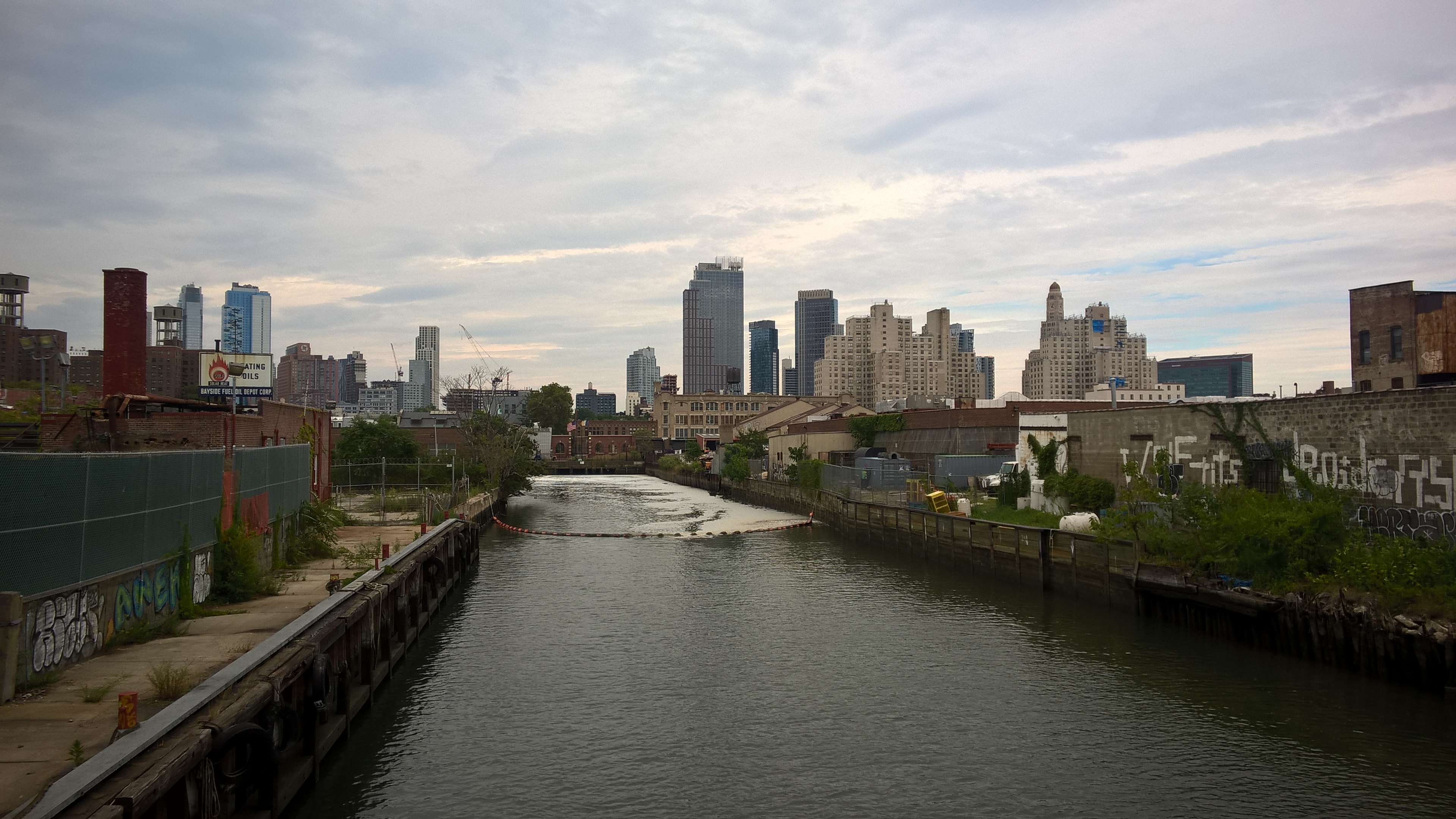 Gowanus canal now
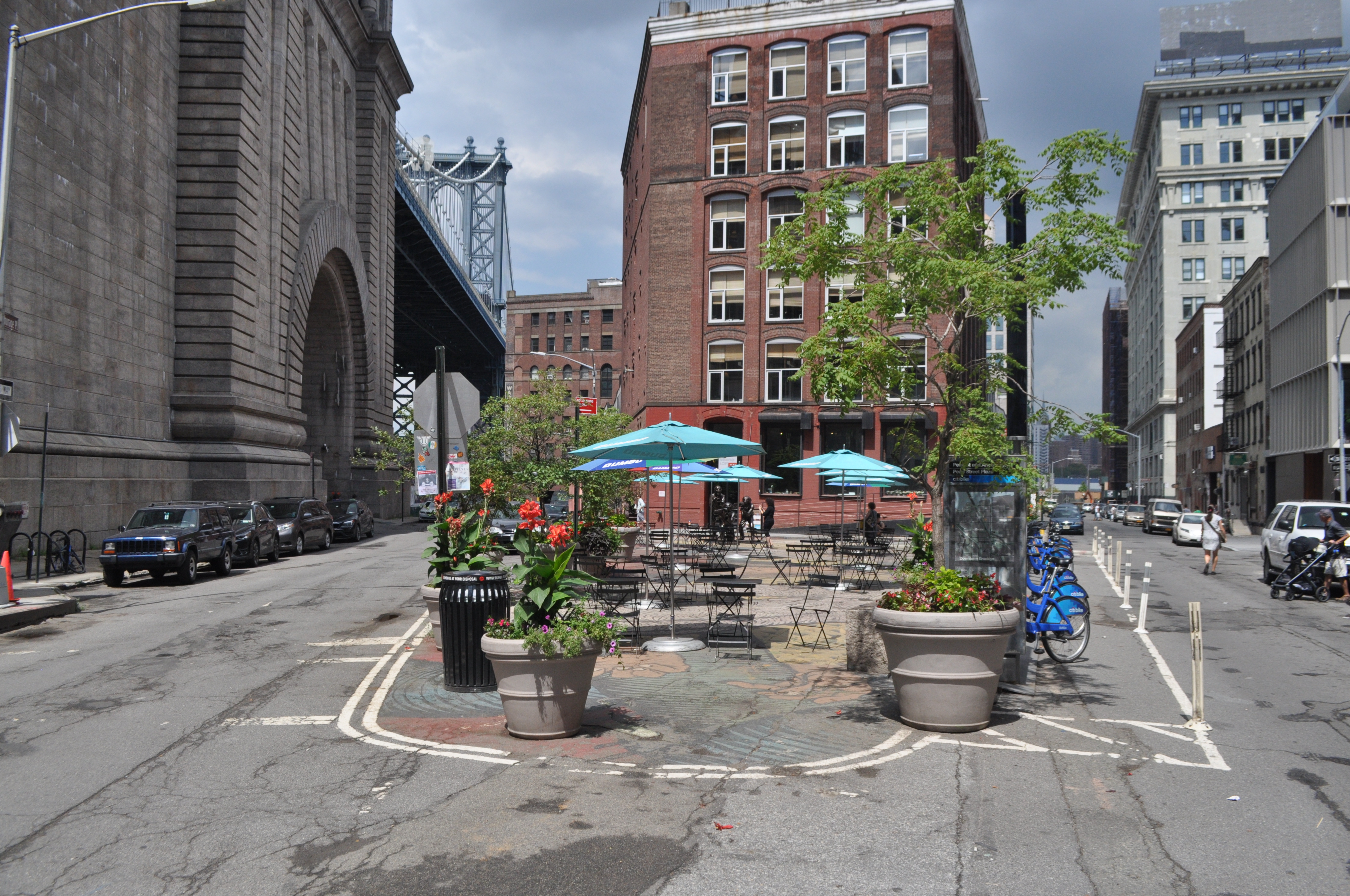 Pearl Street Triangle in Dumbo

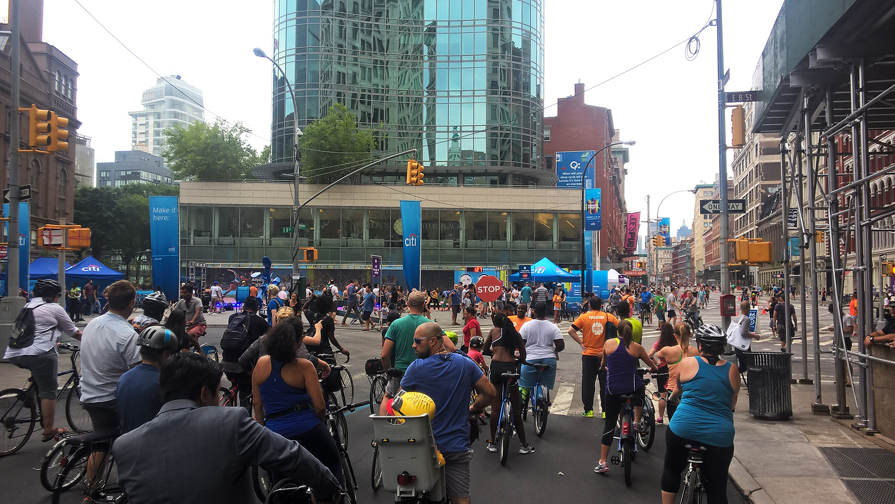
 The Summer Streets route map and a few views of the event
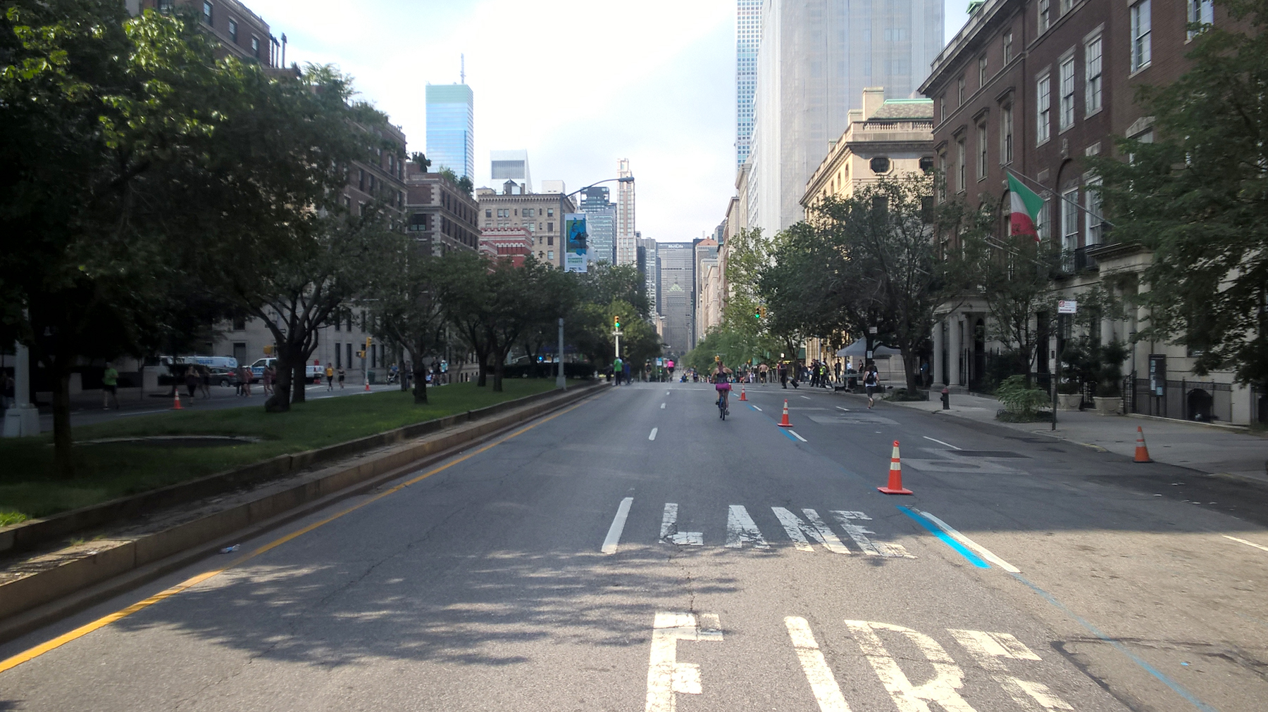 At the early hours Park Avenue looked deserted at times…
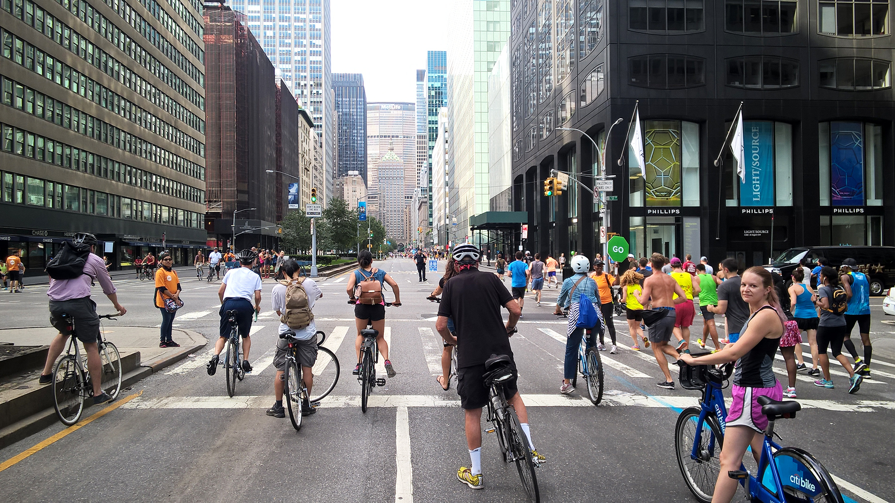
 Towards the end of the event there was already a pedestrian and bicycle rush hour
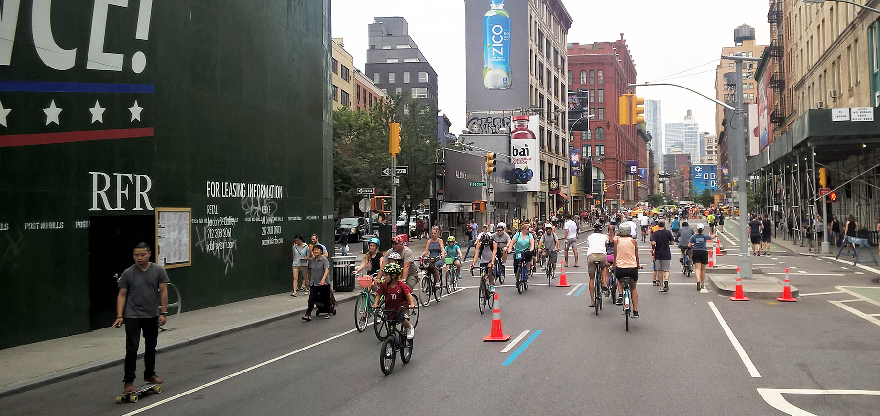 Summer Streets attracted cyclist from different age groups
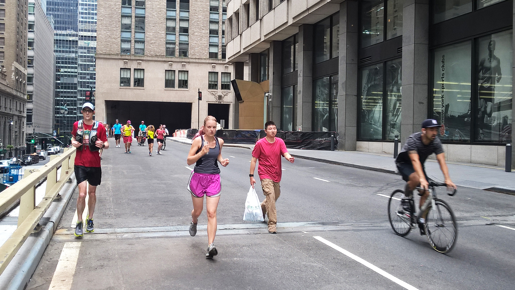 Speeding through Park Avenue on foot
 At the last one of our stops it was a full-on street festival with during the public dance classes
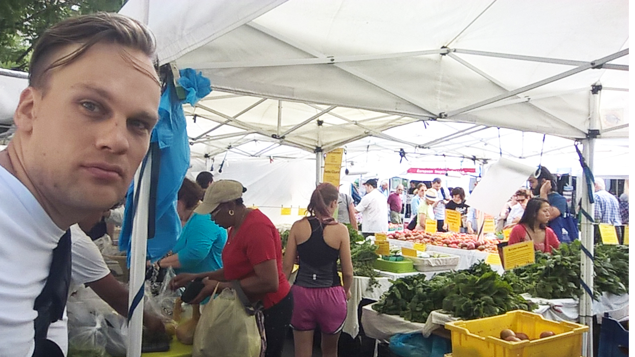 Farmer’s market: wow, such nice groceries!
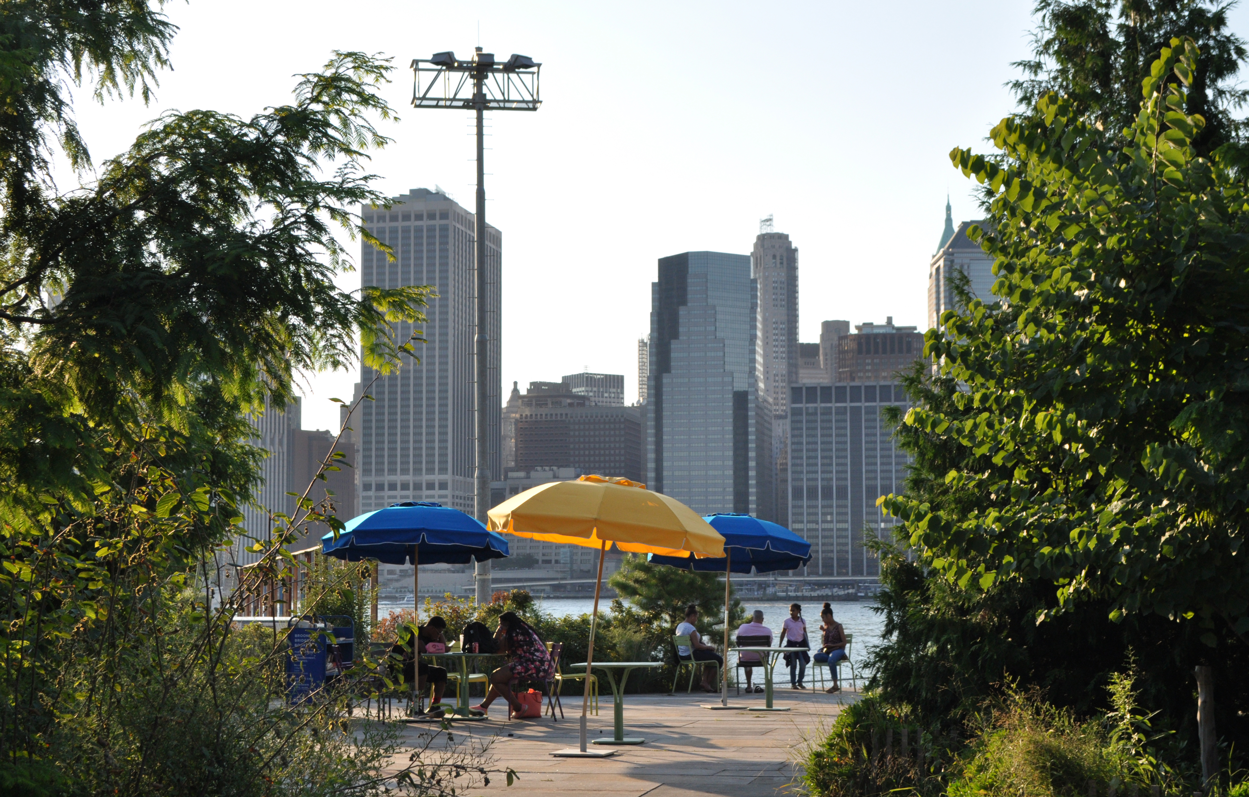
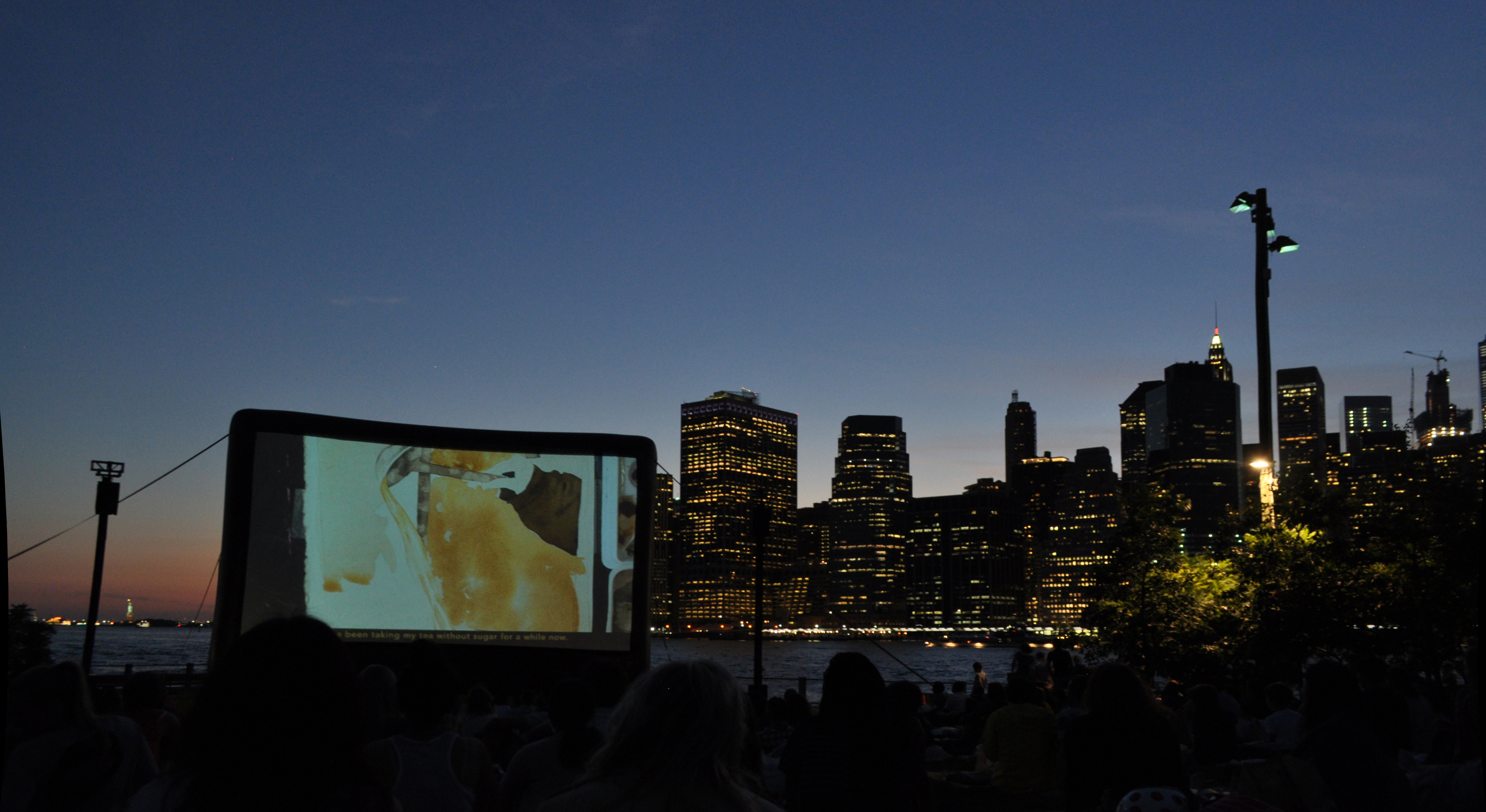

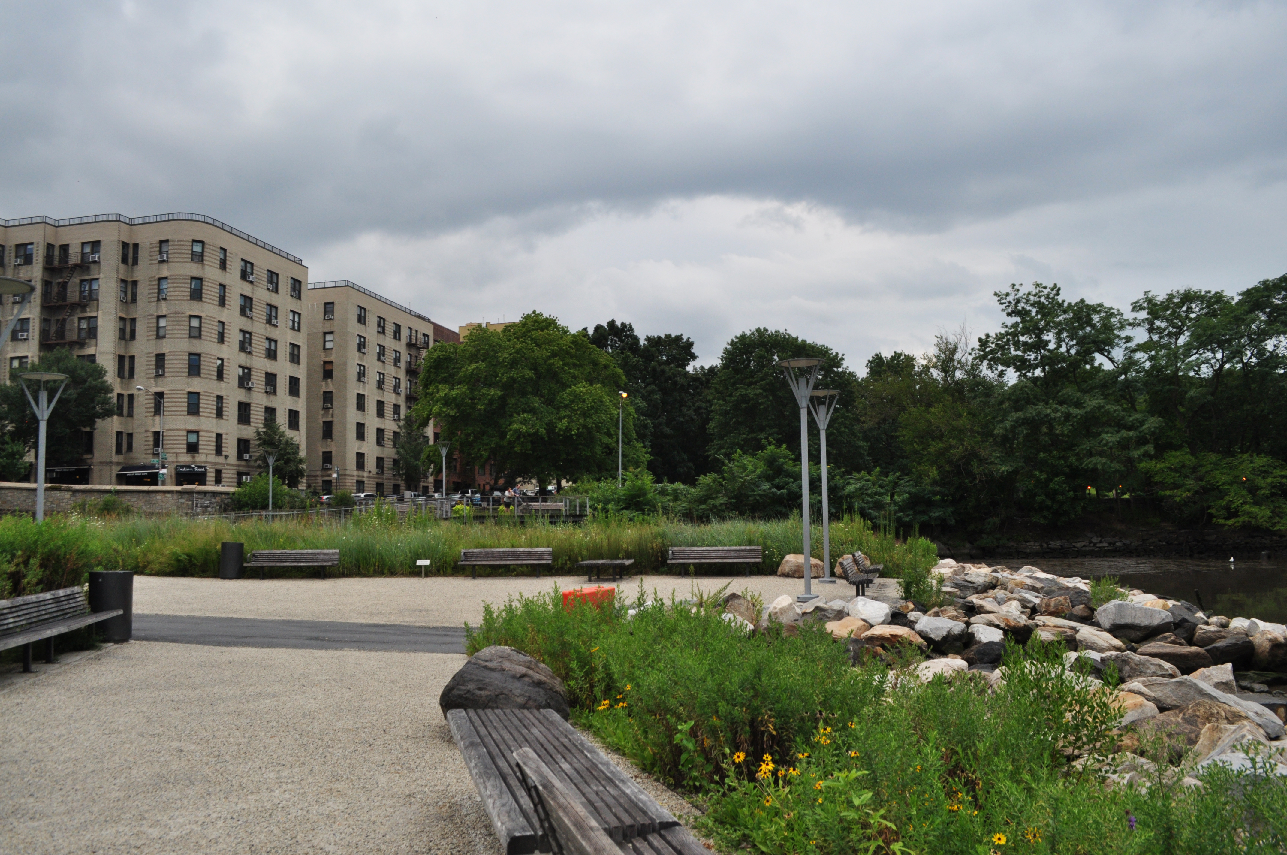
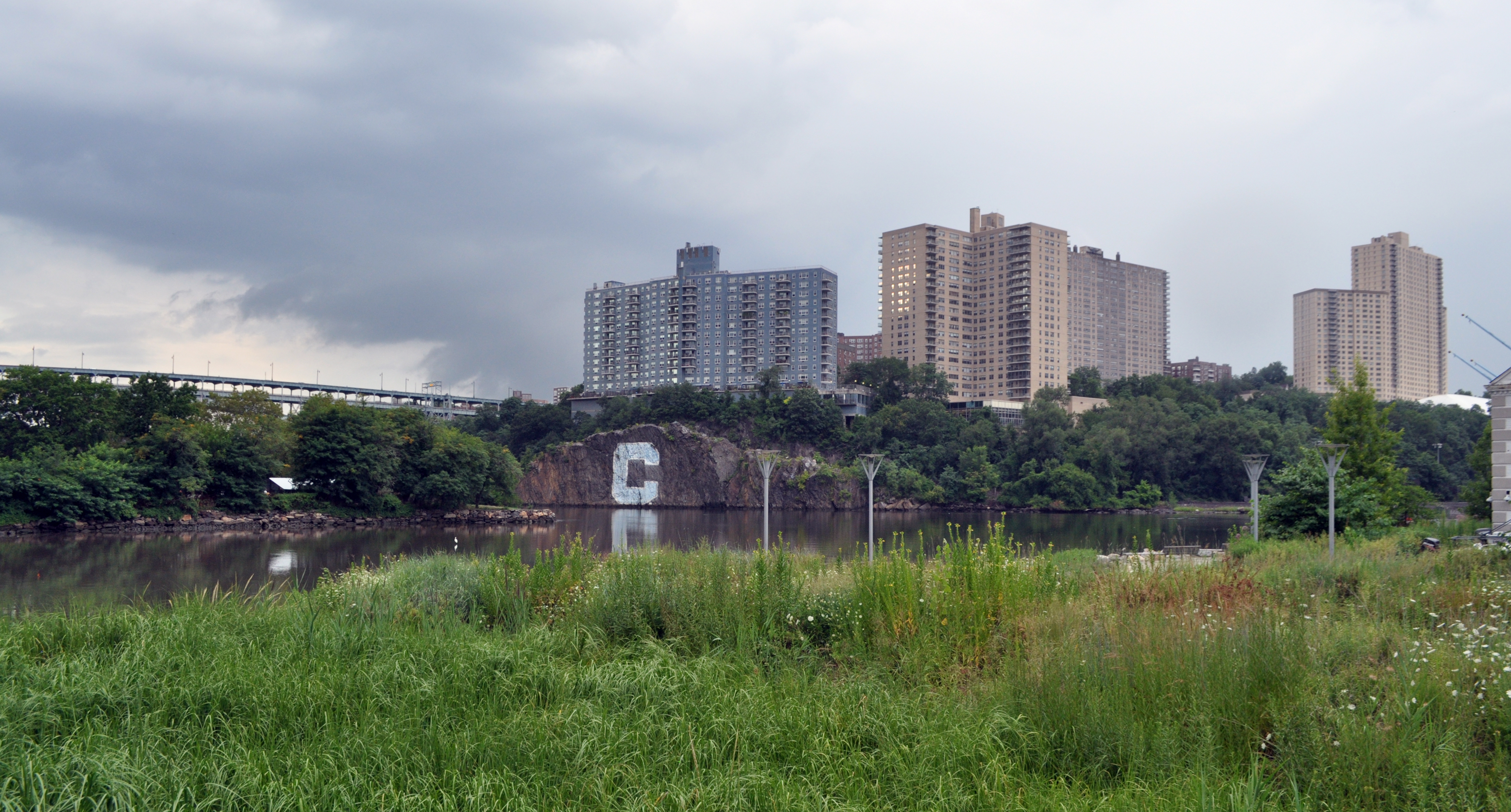

 image 1: Example of the appealing visuals of
 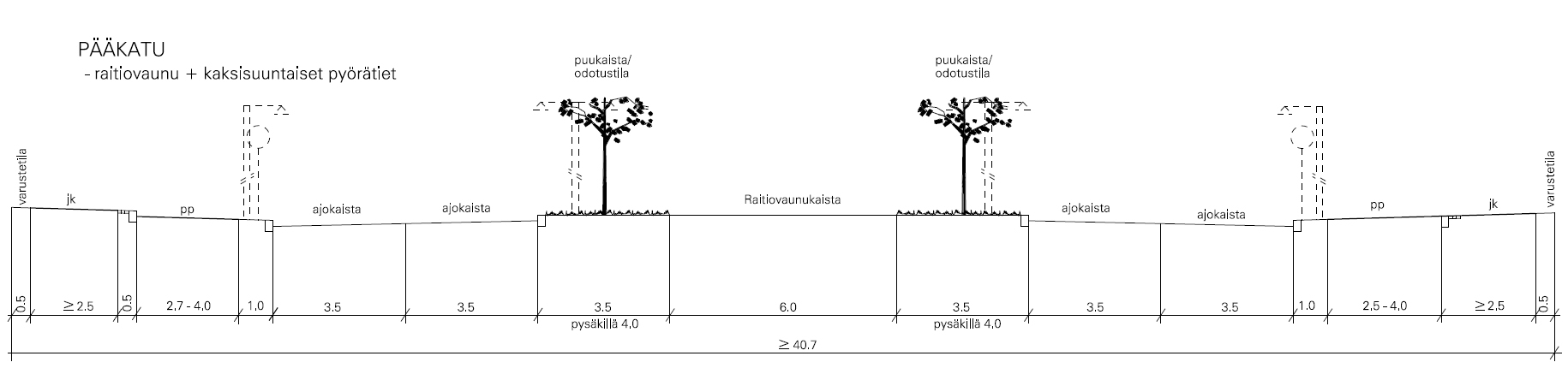 image 2: A typical Finnish depiction of a street type.
 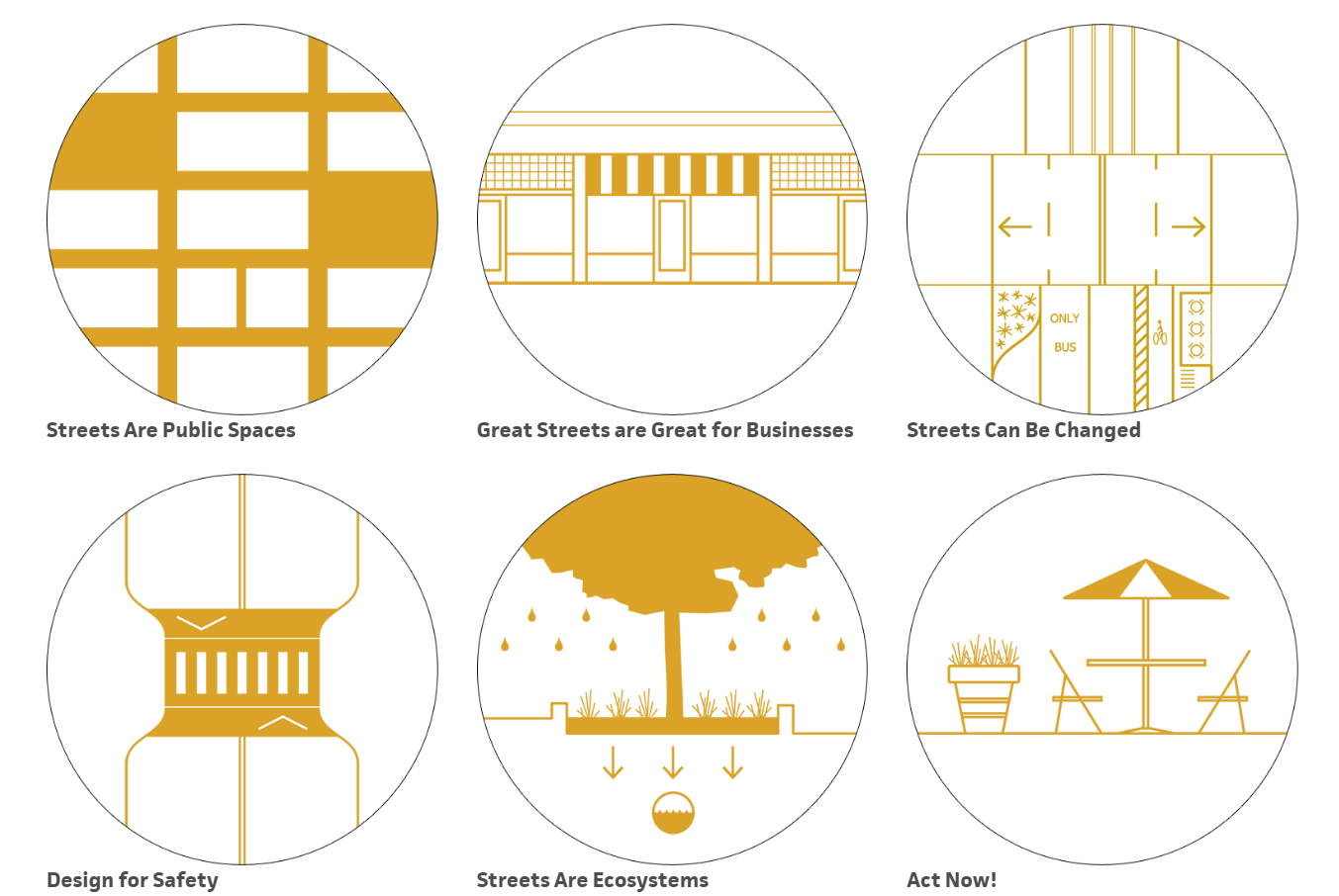 image 3: Street design principles from
 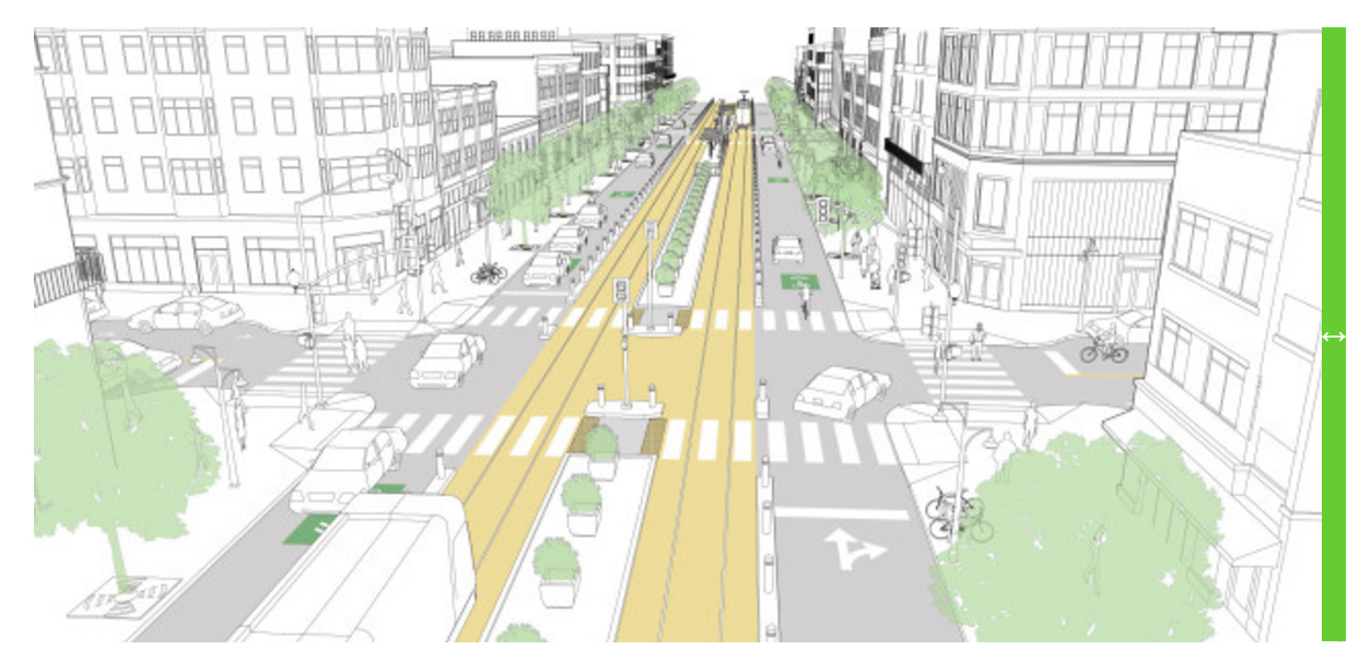 image 4: Downtown transit street from
 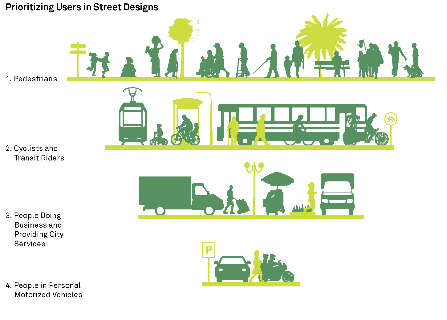 image 5: Prioritization pyramid from
 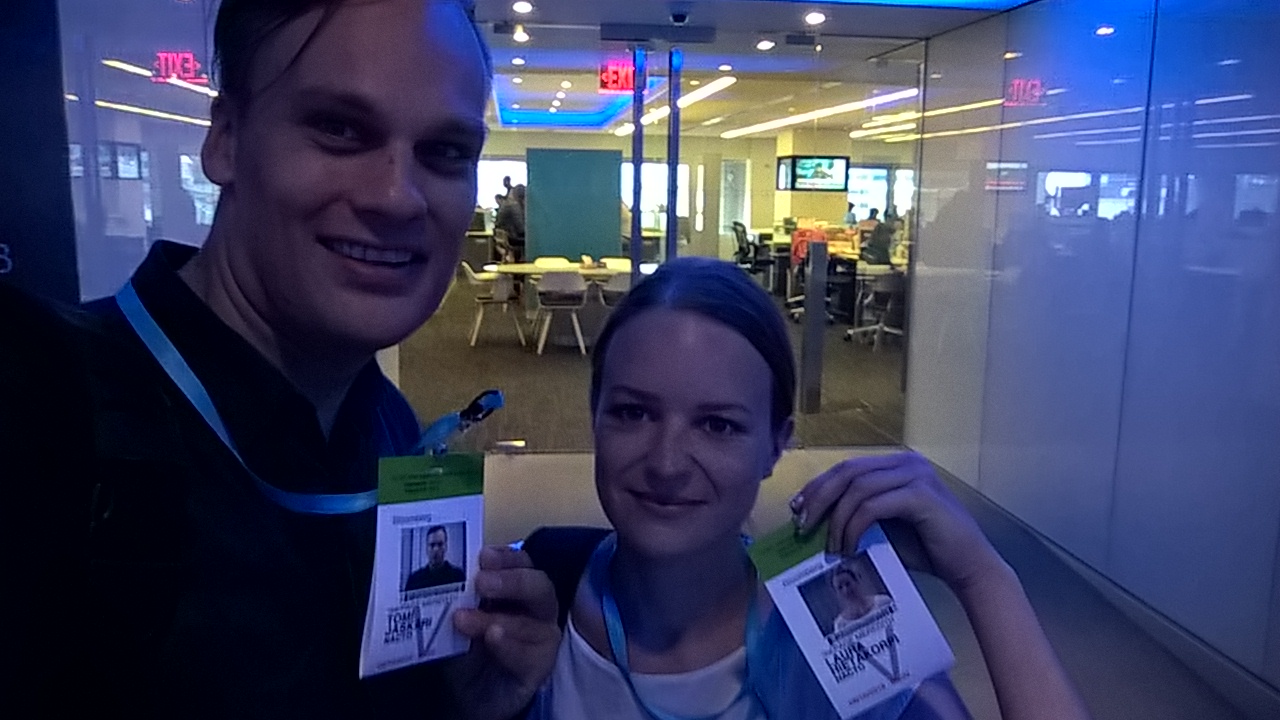 Two happy urban designers after a great visit to NACTO.
 Wildness in the city.
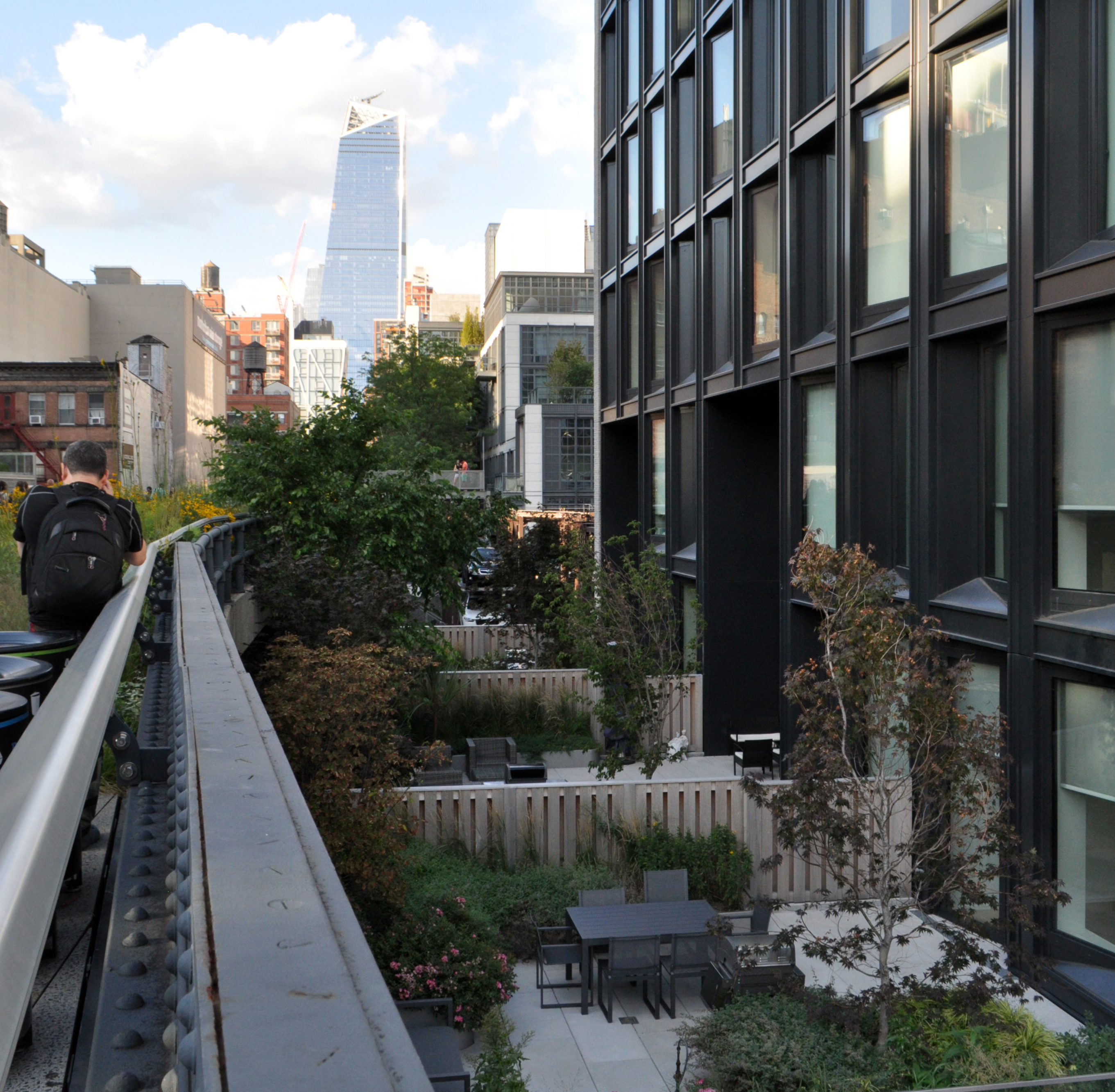 Private terraces by the High Line.
 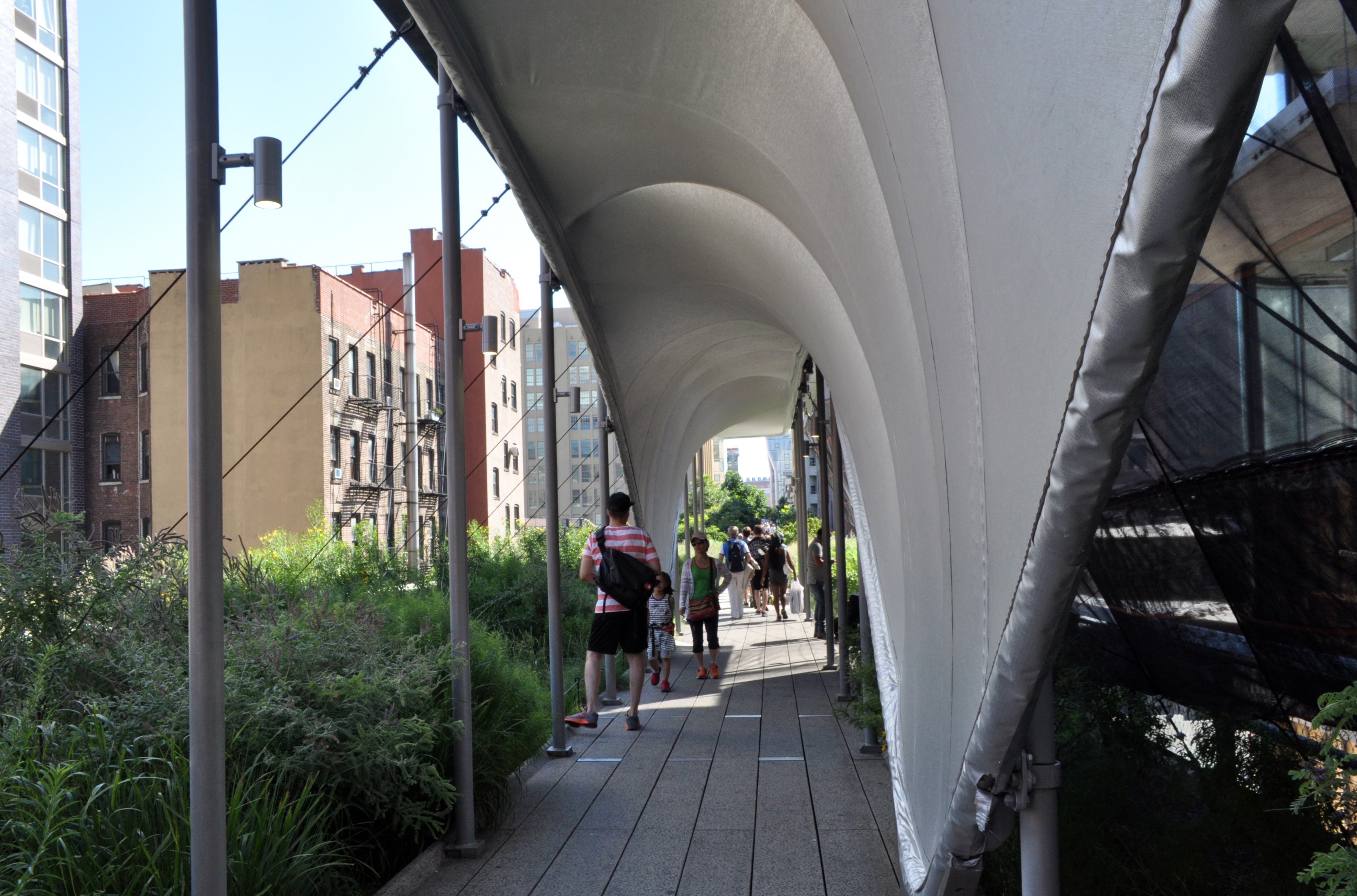 Zaha’s construction shed.